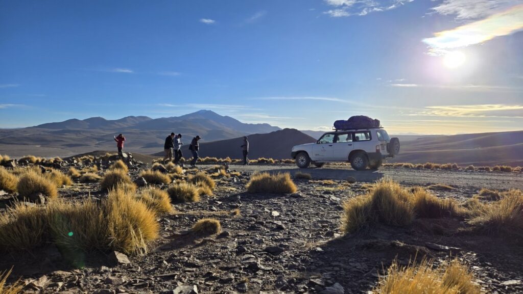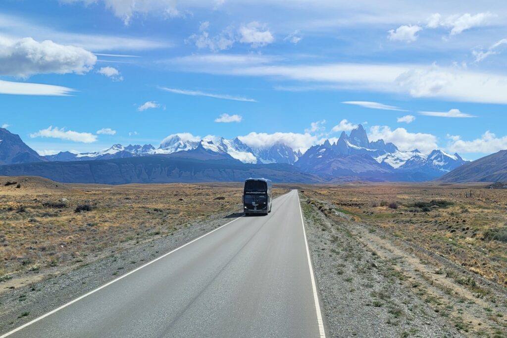
Starting in Tupiza, I booked the famous four-day tour to the Salar de Uyuni. In reality, this bumpy 4×4 ride would turn out to be a journey through surreal high-altitude Bolivian deserts. The route passes eroded red-rock valleys, bizarre volcanic formations, abandoned villages, and arid badlands, before reaching flamingos feeding in toxic-coloured lagoons and steaming geysers in bone-chilling temperatures.
In 20 years of traveling, I’ve rarely set foot in a place so alien it could belong to another world.
How it all started
Most travelers start their tour in Uyuni, a town closer to La Paz. Tupiza, the small southern town near Argentina where I happened to be, is a less popular departure point but, in my opinion, offers far more captivating landscapes.
Booking a tour to the Salar de Uyuni turned out to be much easier than my outdated guidebook had suggested. Prices are largely standardized across agencies, and most hotels had their own affiliated tour offices. My decision fatigue had the best of me and I booked through the tour agency in my hotel.
In normal times, several tours depart daily. But due to recent political unrest in La Paz during my time of visit, most tourists had scattered away, leaving the area unusually quiet. During low-traffic periods, tour operators collaborate to fill their five-passenger jeeps, so the agency you book with might not be the one you actually travel with.

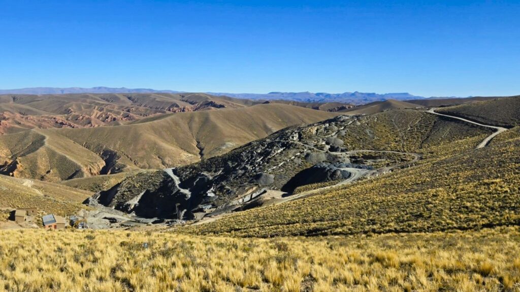
Despite the absence of proper roads, the vehicle was surprisingly comfortable, which was fortunate given the long hours we spent inside. Our driver, who spoke a gringo-friendly version of Spanish, wore many hats: guide, weather expert, entertainer, DJ, photographer, and occasional herder when one of us wandered too far. Our mama-cook followed in a separate vehicle, preparing excellent meals at our destination. Tour food rarely ranks among the best I’ve had, but these meals were a surprising exception. Breakfast, however, was another story: sugary food imitations, pretty much standard fare in Bolivia.
Traveling in winter (June–July), when the salt flats are dry enough to drive across without risking a short circuit, can feel like winter camping. You don’t shower for four days and wear the same five layers of clothing day and night. We slept in basic, uninsulated accommodations without heating, so a sleeping bag was essential to avoid losing too much body heat.
The extreme nighttime cold is partly due to the compact soil of the Altiplano, which absorbs little heat from the sun. Add the wind chill, and temperatures can drop as low as -25°C. The result is some of the most extreme day-to-night temperature fluctuations in the world.
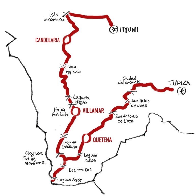
Day 1: Inca Ruins and the Frozen Lava of Ciudad del Encanto
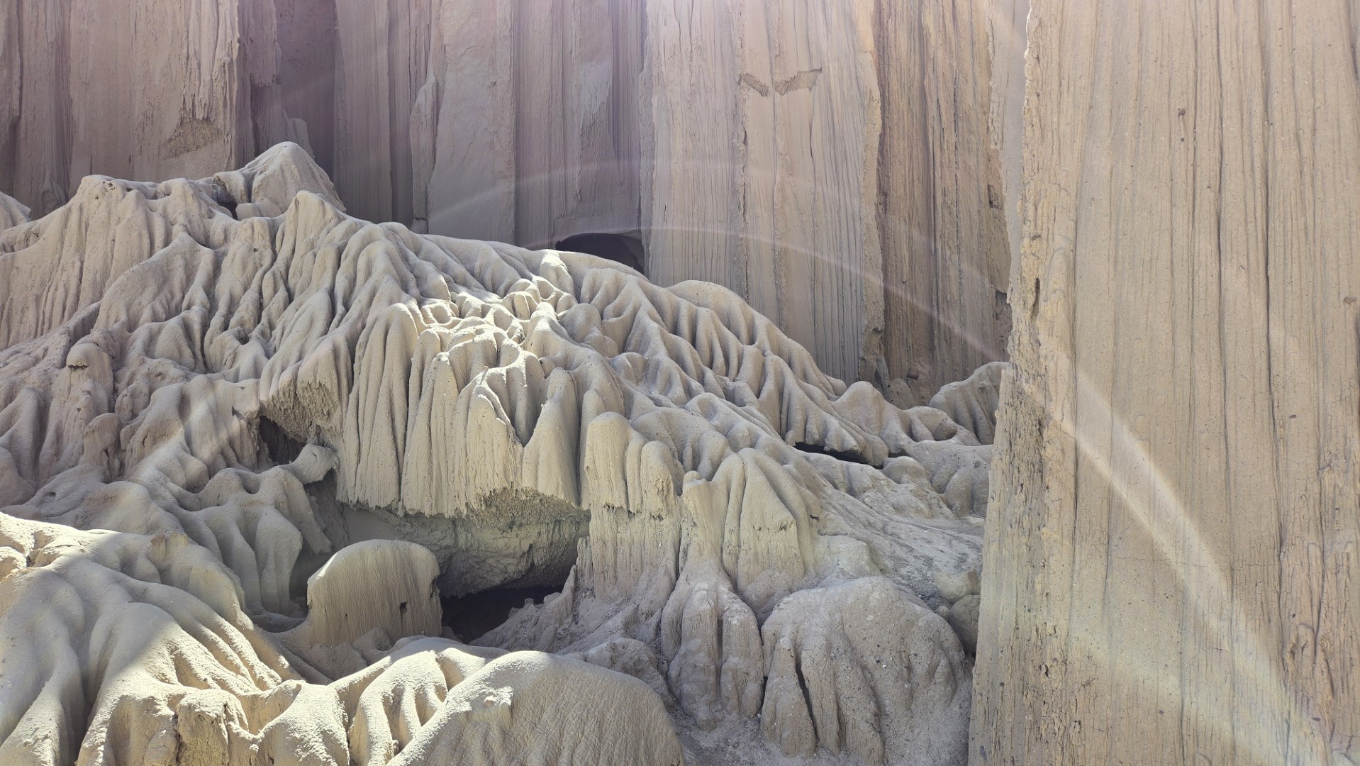
From Tupiza, we headed through the stone ridges of Quebrada de Palala, sculpted by centuries of erosion, stopping at El Sillar, also known as the Valley of the Moon. We then continued to Ciudad del Encanto, a sprawling expanse of volcanic rock formations spanning several kilometers in diameter in the remote Sud Lípez province. The arid conditions here contribute to the stark, barren appearance of the land, which overpower the feeble signs of life and human activity, reduced to scattered patches.

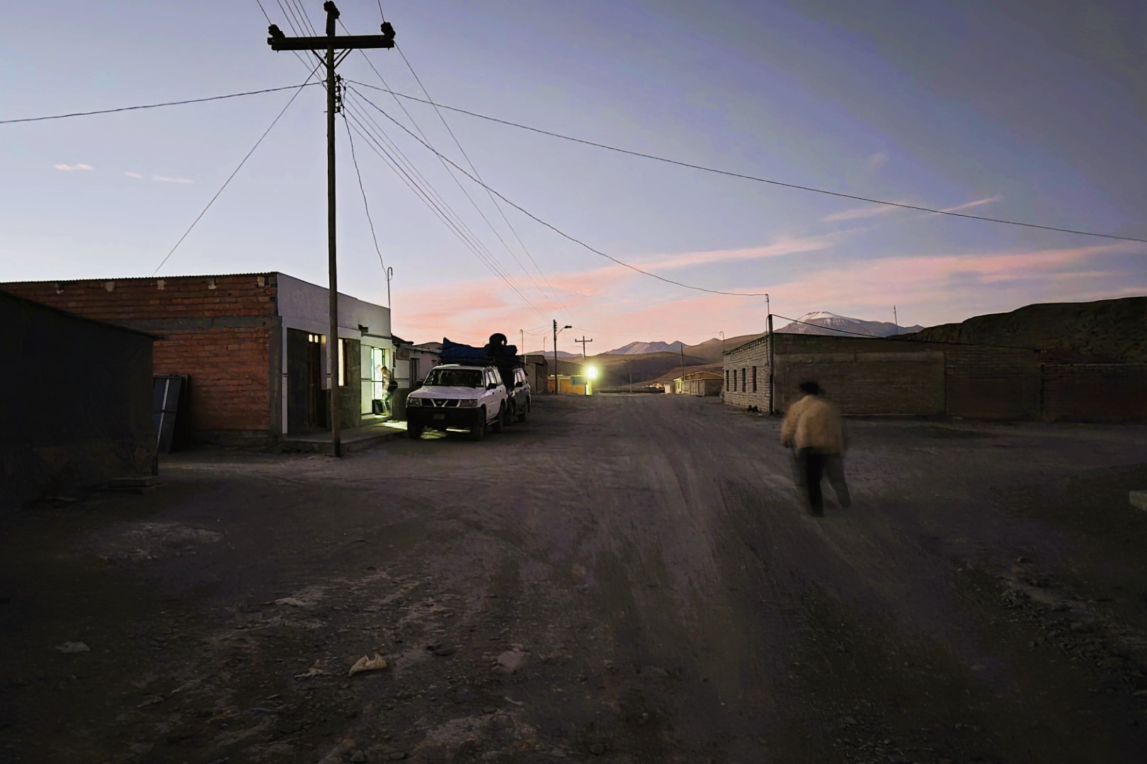
On our way, we passed through the small gold-mining communities of Nazarenito, San Pablo de Lípez and San Antonio de Lípez, before reaching Quetena Chico, a tiny desert town of just 400 residents, where we spent the night at the Lodge Andino Lamphaya.
The lodge appeared abandoned. There was no heating, no hot water, and plenty of gaps in the walls and windows. Nevertheless, it had a pleasant living room with skylights, couches, and even a few magazines.
Outside, temperatures must have dropped to around -15°C. But it was worth stepping out into the darkness to watch the Milky Way spread across the sky, so close and completely untouched by light pollution.
Back in bed, I buried myself under five or six heavy wool blankets. It took a good hour for my body heat to warm the sleeping bag enough for me to finally fall asleep.
Day 2: Desierto de Dalí, Volcanic Geysers, and Half-Frozen Mineral-Stained Lakes
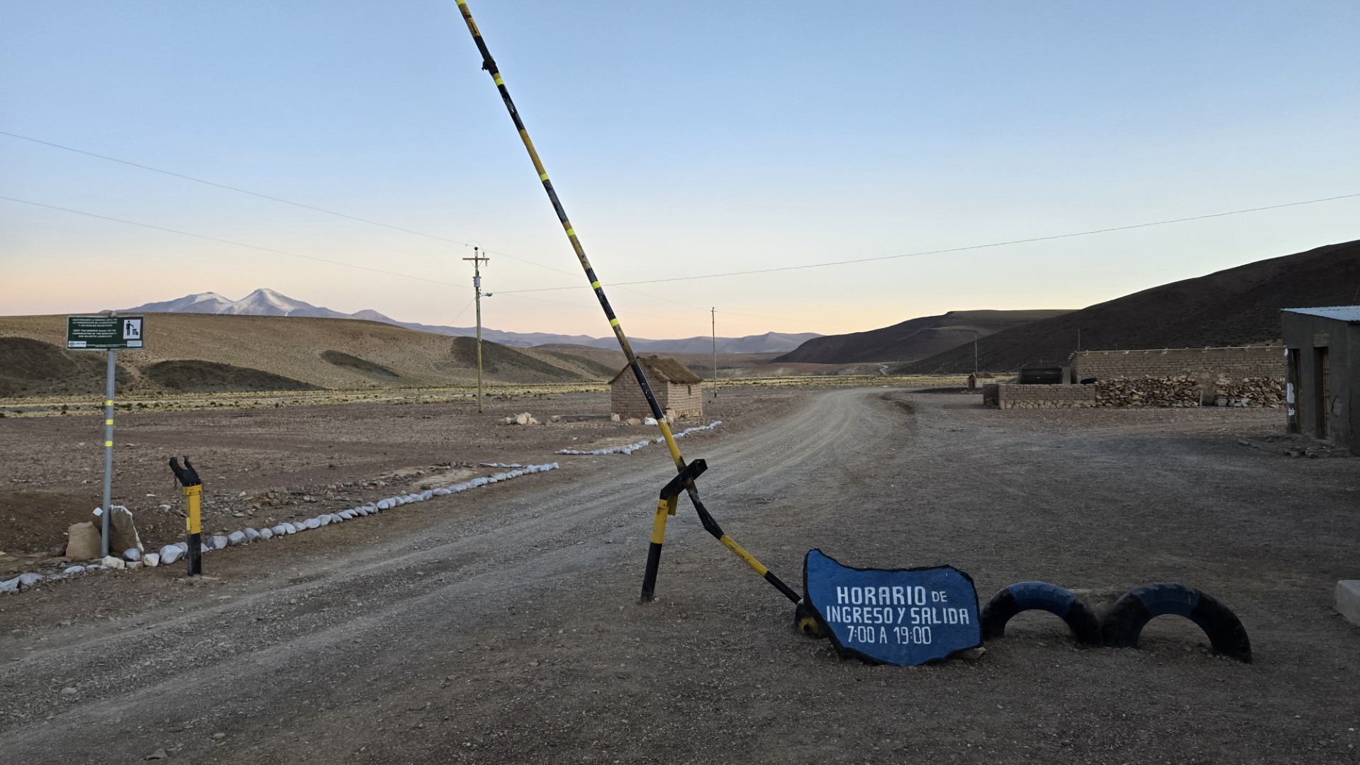
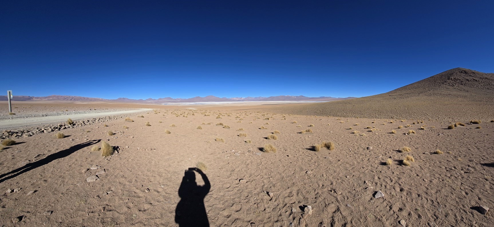
The Eduardo Avaroa Andean Fauna Reserve is a huge protected area covering 7,147 square kilometers. Set high in the Andes, it ranges from roughly 4,000 to 6,000 meters in altitude. The landscape is shaped by wind and mixes white salt flats with dark mountains in shades of ochre and black. Bolivia’s southern border with Chile is several days from the nearest major Bolivian city.
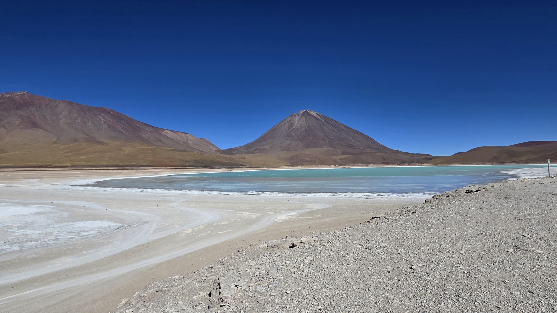
Our first stops were Laguna Kollpa, known for its large deposits of raw materials used in soap making, and Laguna Verde, sitting 4,250 meters above sea level in Bolivia’s southeast corner. The green lake changes from turquoise to emerald depending on how much the wind stirs up the arsenic and magnesium sediments suspended in the water.
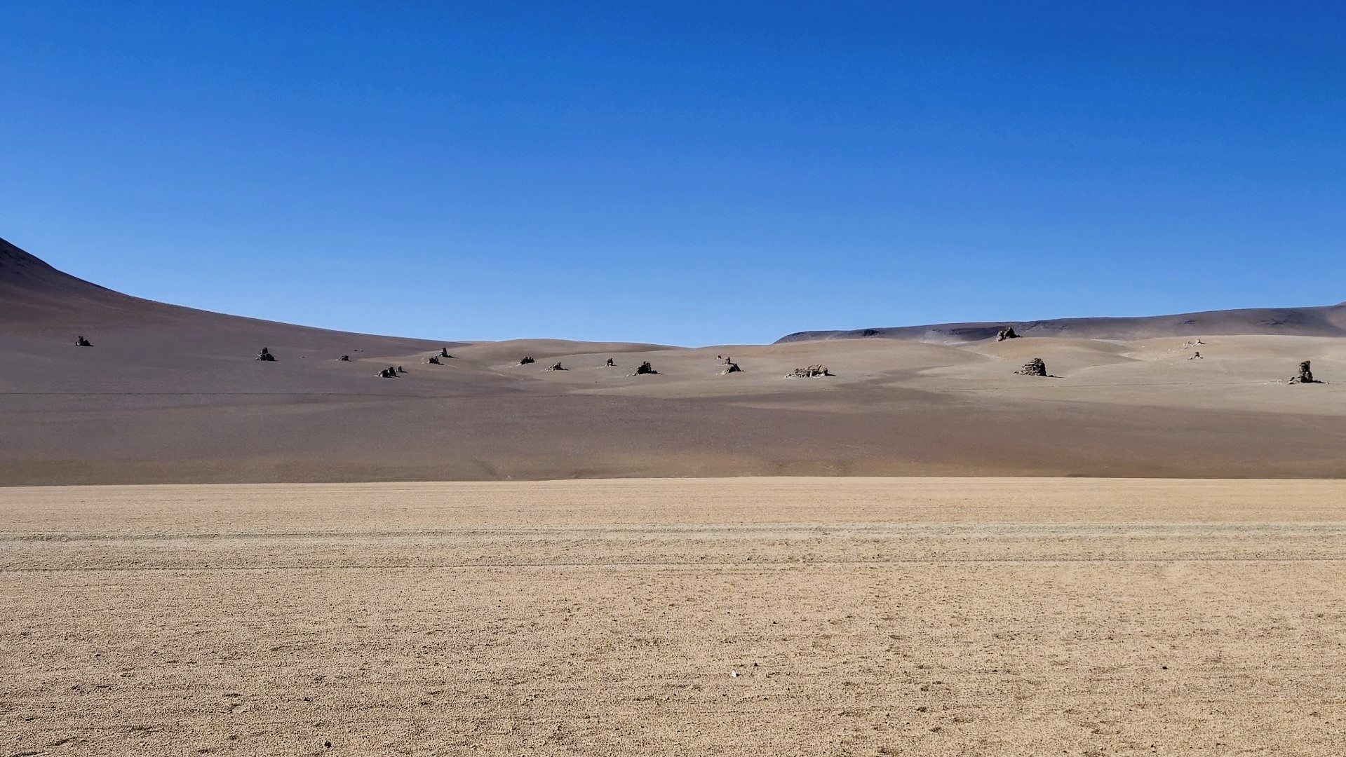
Next, we explored the Desierto de Dalí, a surreal desert landscape of colorful mountains and solitary monoliths that appear like mirages on the flat surface. These rock sentinels are remnants of molten lava, solidified and scattered across the terrain in random patterns.
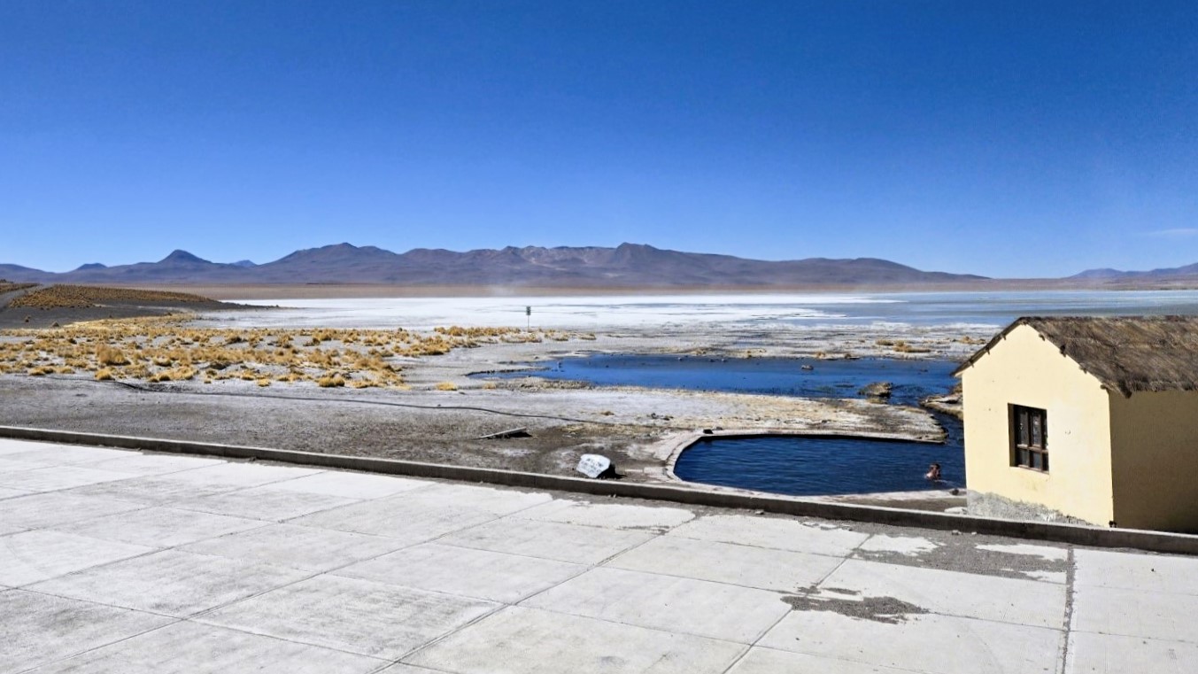
At Salar de Chalviri, we took a break from the cold and altitude sickness by dipping into natural hot springs filled with volcanic water at a perfect 37°C. The only painful part was the short, freezing walk from the changing room to the water.
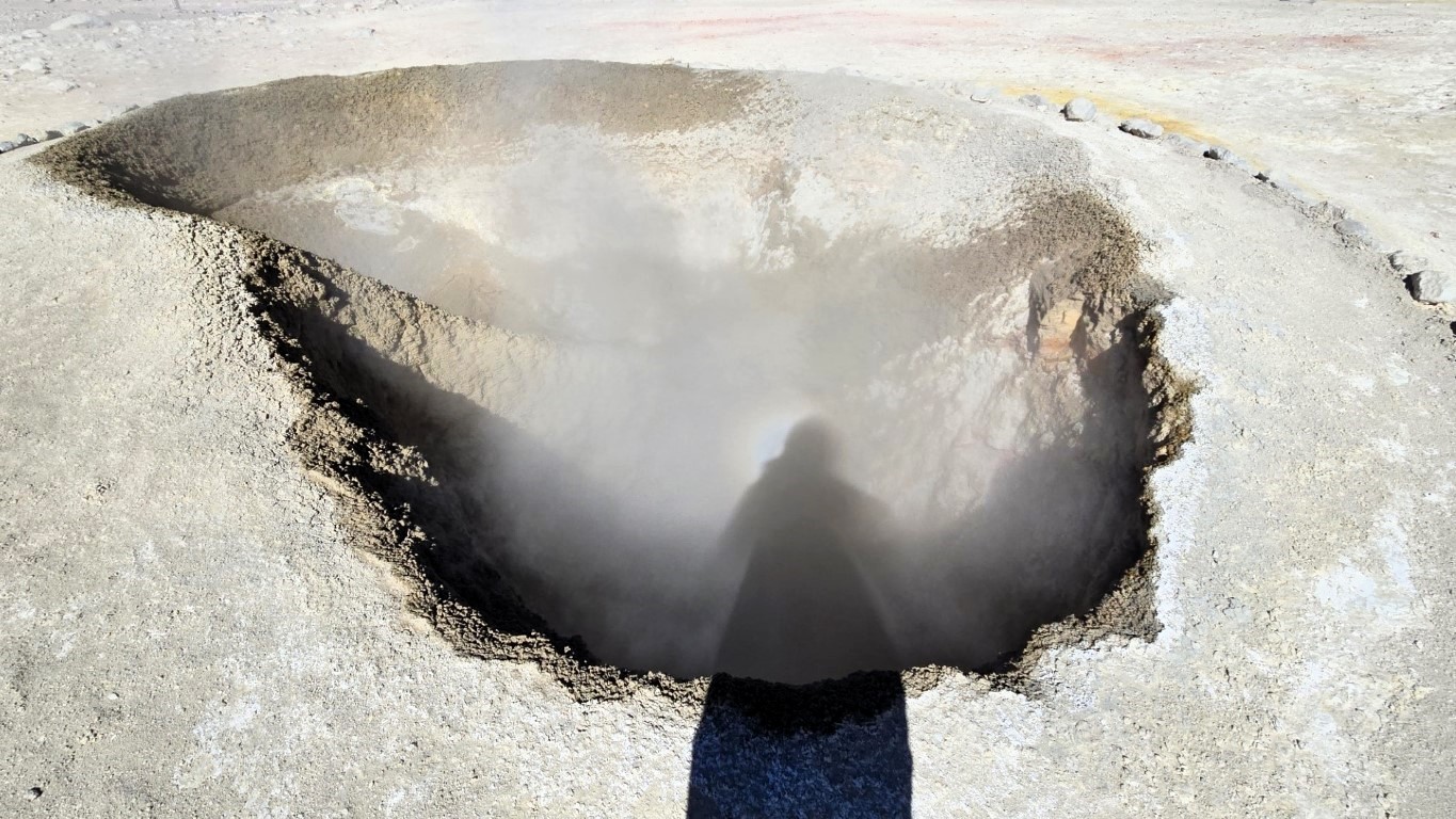
In the afternoon, we visited the bubbling mud and sulfur pools of Sol de Mañana Geysers at an altitude of 5,000 meters. The geysers send jets of steam into the air early in the day, but their energy fades as the hours pass.
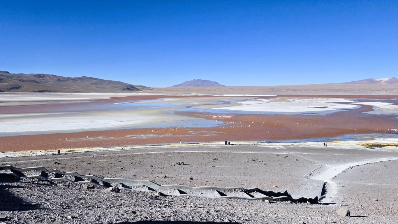
Laguna Colorada is the reserve’s largest lake, with unusual shades of red, white, and pink. The red comes from a natural pigment in the algae, while the white edges are formed by ice and borax deposits, a mineral used in the manufacture of paint and glass. The pink comes from hundreds of flamingos splashing through the icy shallows in search of crustaceans and algae. The park office tower has a pleasant café where we warmed up briefly, but nights here can get brutally cold, dropping below -20°C.
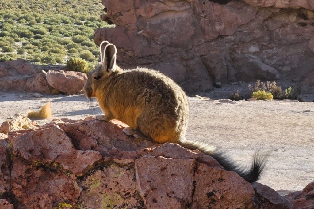
Despite the harsh conditions, tenacious ecosystems survive around the salt flat’s arid margins, including colonies of cacti, hardy plants, and viscachas, rabbit-like rodents. Aymara and Quechua communities live here too, scraping by in this unforgiving environment.
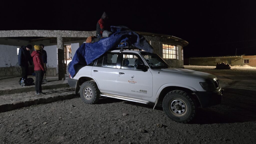
We sped along the sandy road at dusk toward our second basic accommodation in the small village of Villamar, racing against the setting sun and making the last stretch in complete darkness. Our experienced driver’s knowledge of the road was a lifesaver. Before bed, I managed to get my hands on a portable heater for ten minutes—a short luxury before I had to turn it off to avoid cutting the power for everyone else.


Day 3: Italia Perdida, Cañón de la Anaconda, Villa Candelaria
On the third day, we visited Italia Perdida and Valle de Rocas, known for their geological artistry. Among these is El Camello, a mythical camel said to have been turned to stone by ancient deities for wandering through the valley. Geoglyphs carved into the ground by early inhabitants are said to be visible from higher vantage points. The Cañón de la Anaconda, named for its snake-like curves and green coloration, hosts unique plant species that have adapted to its particular microclimate.


We ended our day with a stay at Villa Candelaria in a hotel made of salt, a historic stop for traders between Bolivia and neighboring countries, for another freezing night.


Day 4: Isla Incahuasi, Salar de Uyuni, and Cementerio de Trenes
Our journey to the Salar de Uyuni began before dawn—at 5 in the morning to be precise—to catch the night stars over the world’s largest salt flat. Situated at an altitude of 3,650 meters, the Salar sits lower than the rest of the Altiplano. Thanks to this drop in elevation, we enjoyed a slightly less freezing climate.
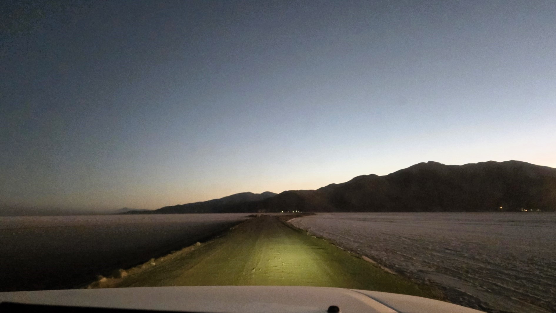
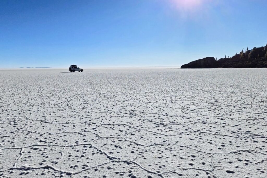
As the first light of day began painting the horizon, we drove 60 km across the Salar to Incahuasi island, one of the many small islands scattered across the white expanse. Watching the sun rise over the plain from this icy island was a surreal experience and one of the highlights of the trip. Incahuasi is a geological oddity: rocky outcrop covered in fossilized algae, where giant cacti, some growing over 9 meters tall, thrive and are believed to be hundreds of years old.
Early in the year, these cacti bloom with bright white flowers, drawing the attention of giant hummingbirds. The trunks of the cacti are the only source of timber in the area, used for building doors and roofs in the surrounding settlements. The island is also home to lost viscachas, small rabbit-like rodents that survive on the sparse vegetation, forever trapped in a bleak habitat, encircled by white desolation.
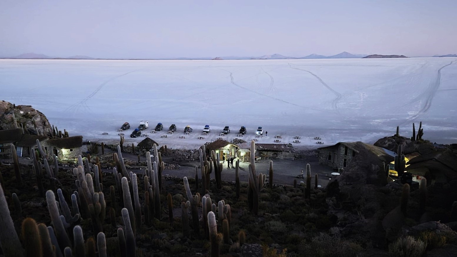


The vast white expanse of the Salar stretches over 12,000 square kilometers, creating a surreal, convex terrain. The ground beneath us was made up of 11 layers of salt, ranging from 2 to 10 meters thick. Beneath these layers, the salt extends to a depth of 120 meters, forming the planet’s largest reserve of lithium, magnesium, potassium, nitrogen, phosphorus, and borax. Learn more about the unique geology of the salt flats here.
The journey ended 3 kilometers southwest of the town of Uyuni, at the eerie train cemetery. It’s another strange topography, shaped by the metal carcasses of former train parts, now surrendered to natural decay, slowly rusting and blending back into the landscape.

Intriguing flora and fauna
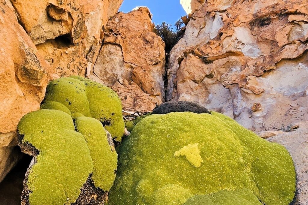
The trip back to Tupiza through the main road was equally fantastic
What to know
Tour costs are similar across operators, and all have faced issues in the past, including fatal accidents. The itinerary can change due to the weather, so you have little control over it. We had our own cook, who prepared excellent meals for lunch and dinner, which isn’t standard for all tours. Rarely do meals on a tour rank as some of the best I’ve had.
- Cost (for 4 days): 1250-1350 Bs (approx. CAD $260, about CAD $66 per day), depending on group size (4 or 5 persons plus driver)
- Park Entry Fee: 150 Bs (approx. CAD $30)
Cost includes:
- Transportation in a 4×4 vehicle.
- Driver who doubles as a guide. English-speaking guide at extra cost.
- Dedicated cook who prepares meals (it could also be the driver depending on companies). Expect high-sugar food imitation for breakfast.
- Basic accommodations and sleeping bag.
- The possibility of a free return trip to Tupiza, where you can retrieve any stored luggage.
What to expect
- Extreme winds, enough to blow my glasses away as I stepped out of the car (luckily, I found them!).
- Extreme temperatures, dropping well below -15°C at night.
- No heating or hot water, and therefore no way of getting warmer (you can pay for a hot water shower when available). You’ll only rely on the sleeping bag to conserve heat.
- Average elevation of 4,000 m, reaching 5,000 m, with peaks up to 6,000 m.
- Salar de Uyuni facts: The salt flats sit at an altitude of 3,653 m, span a diameter of 100 km, and have a dept of 120 m. They are the lowest and warmest place of the trip.
- Rough travel, due to the absence of roads on most of the trip.
- Again, sub-zero temperatures at night with no way of getting warm: on the positive side, you’ll be so exhausted from the days travel that falling asleep shouldn’t be a problem.
- If the flamingos chose this place to hand out, there must be something worthwhile!
- Building on the salt flats is illegal.